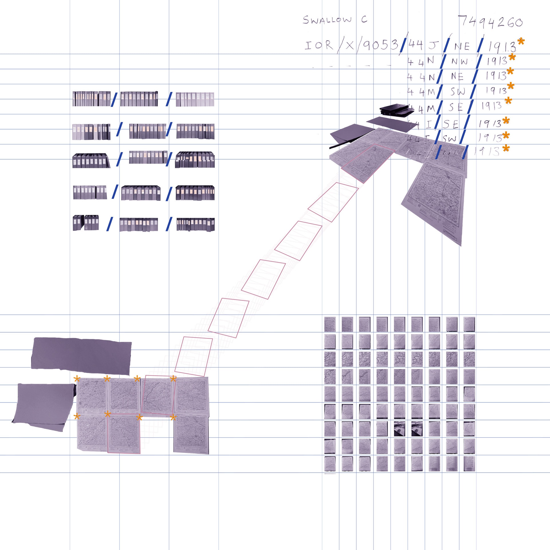
An environmental architecture can be achieved by thinking-with-geology, where both the material site and the historical designs that have produced it are stratified beneath the surface of the present.
The Punjab Canal system as it exists today is a layering of eroded master plans, deposited experiments in hydro-control, and stratification of modernist logic which continues to produce harm for the people that live in the area. Responding to RS5s research into ongoing struggles with groundwater pollution in the Punjab, the project works between the geologic and the archival - principally the India Office Archive within the British Library. I have engaged with this archival stratification as someone who is outside of the ongoing struggles in the region, yet having privileged access to documentation that speaks to how existing problematics have emerged.
In engaging with this archival record, I have been conscious to the ways that design emerges through historical, political and economic parameters, the trace of which remains latent in the present. As a sedimentary sample must be understood as part of broader geologic forces, seemingly innocuous infrastructure can be understood as emerging from the ideals of statecraft during the Raj era, and working according to hydrological principles that are both outdated and actively propagating harm today.
The geological record offers both a thinking apparatus where these designs are not critiqued or intervened but instead situated within the broader context that is presently missing. The project asks how can design operate in acknowledgment of the contingencies inherent to working on landscapes with inherited dispositions, and how, as practitioners, we can move beyond a propositional/interventionist framework.


